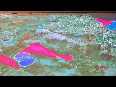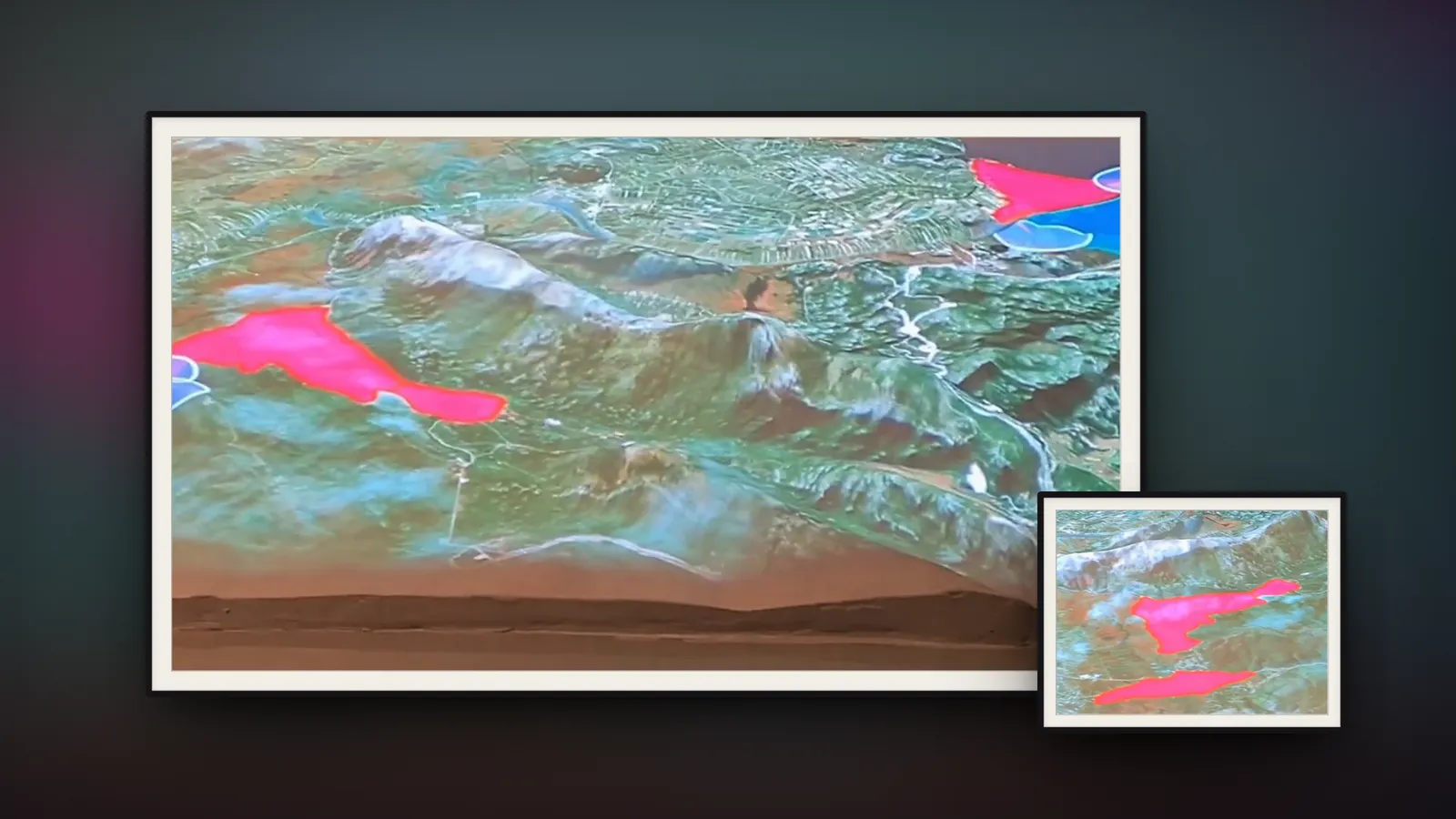
Neretva valley AR projection
Projection mapping on a relief of the Neretva delta
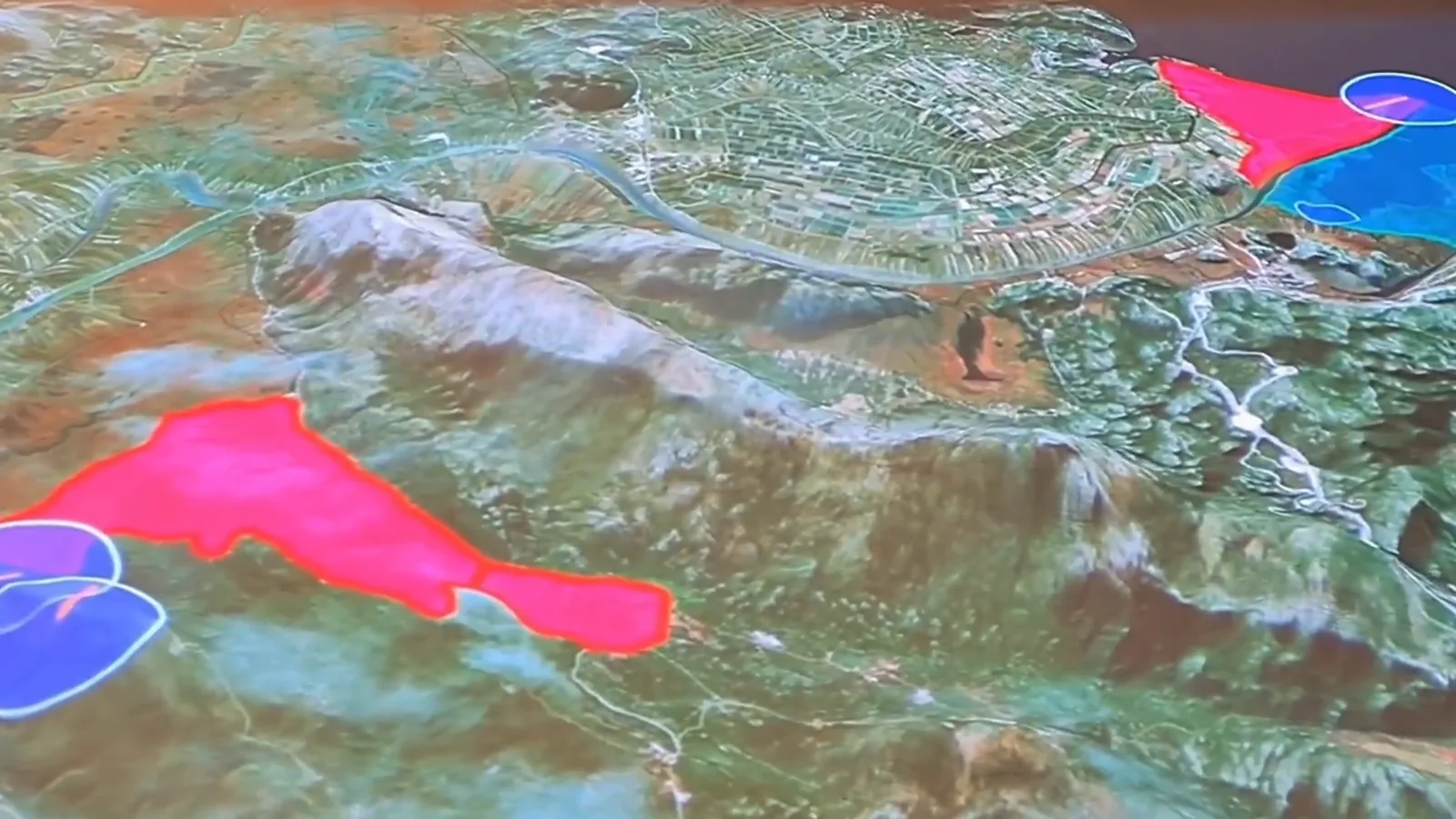
Animated information layers projected onto a hand-made relief model of the Neretva valley and delta, at the Baćina lakes.

Protected areas
Six special reserves and a significant landscape in the delta, and the Baćina lakes. Aim the projector at one.
Elevation: Mapzen Terrain Tiles (EU-DEM, produced using Copernicus data and information funded by the European Union; SRTM, USGS; ETOPO1, NOAA). Protected areas: nationally designated areas (CDDA) © EEA; Natura 2000 © European Commission (DG ENV), via the EEA; both CC BY 4.0, simplified. Status and dates: Bioportal. Water, wetlands, coastline, towns: © OpenStreetMap contributors. Bird routes are illustrative.
At the Baćina lakes, near the mouth of the Neretva, the Vrata Neretve visitor centre shows the valley on a large hand-made plaster relief, about two by three meters. We made the animations projected onto it, drawn straight onto the terrain one layer at a time:
- Protected areas. The Neretva delta, the Prud, Orepak and Pod Gredom bird reserves, the bird and fish reserve at the river mouth (Ušće Neretve), the Predolac–Šibenica landscape, and the Baćina lakes themselves, each outlined and then filled in.
- Birds. Where the valley's most important species live: the Eurasian bittern, little bittern, western marsh harrier, ferruginous duck, bearded reedling, water rail, crakes and reed warblers.
- Fish. Habitats of the marble trout, the Adriatic sturgeon (historic), the Neretva softmouth trout, Salmo dentex and the Neretva dwarf goby.
How we did it
The relief was made by hand by another team. It's beautiful, but far from accurate, and real GIS data didn't line up with it.
We 3D-scanned the model, cleaned up the scan, and bent the map data until it fit the surface. The animations were made in Cinema 4D, with some parts in Unreal Engine, for a single projector. The installation team did the final projection mapping in VIOSO.