
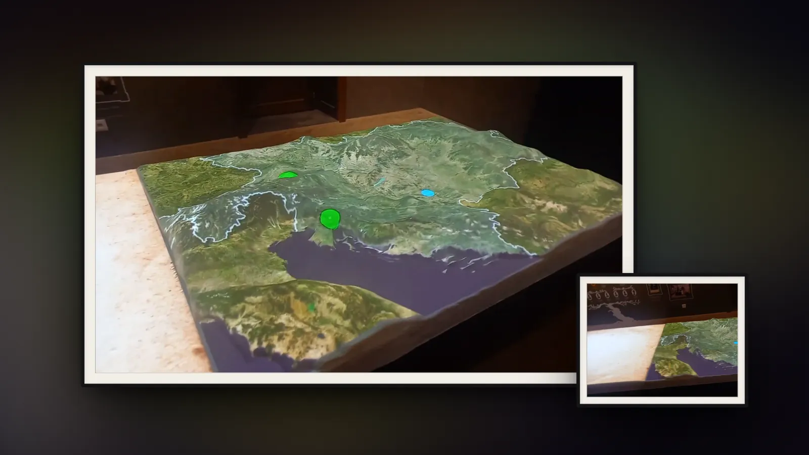
Austria-Hungary border relief projection
Projection-mapped history on a relief model
The break-up of the Habsburg Monarchy and the forests of its lands, projection-mapped onto a physical relief model.

1914
The Habsburg Monarchy
Austria-Hungary on the eve of the First World War. The relief lights up inside its outer border.
Its lands
Kingdoms and lands
The borders of the lands within it appear, from Bohemia and Galicia to Croatia-Slavonia, Dalmatia, and Bosnia and Herzegovina.
1914–1918
War
A symbolic wave of war sweeps across the map.
1918
The monarchy breaks apart
Its outline gives way to the borders and names of the states that divided it, shown here as they stood in 1923.
1 December 1918
Kingdom of Serbs, Croats and Slovenes
Singled out among them: the kingdom proclaimed in Belgrade on 1 December 1918, uniting Serbia and Montenegro with most of the monarchy's South Slavic lands.
Baranja
Belje
And within it, Belje, close to Tikveš, where the real relief stands.
Borders: OpenHistoricalMap contributors (CC0): Austria-Hungary and its lands in 1914, the successor states in 1923 (Lastovo, Italian from 1920, added to Italy). Elevation: Mapzen Terrain Tiles (SRTM, USGS; ETOPO1, NOAA).
What we did
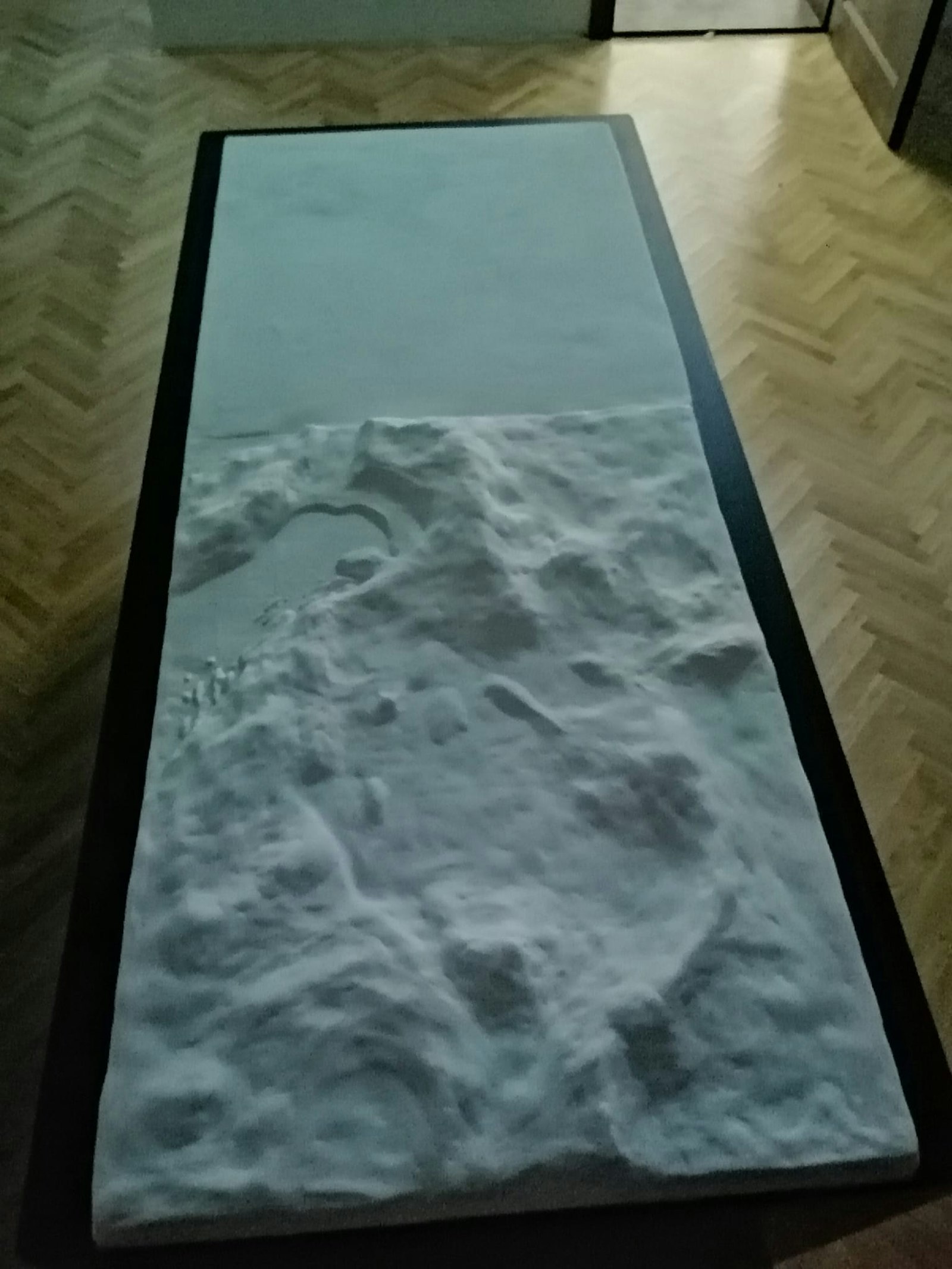
At the Presentation and Education Centre Tikveš, a physical relief model about two metres across shows the lands of the old Habsburg Monarchy. We made the animations projected onto it, in two parts.
The first tells how the monarchy ended. The terrain lights up inside its outer border, then the borders of the lands within it appear. A symbolic wave of war sweeps across the map, the monarchy breaks apart, and the borders and names of the states that divided it take its place. The Kingdom of Serbs, Croats and Slovenes is singled out among them, and within it, Belje.
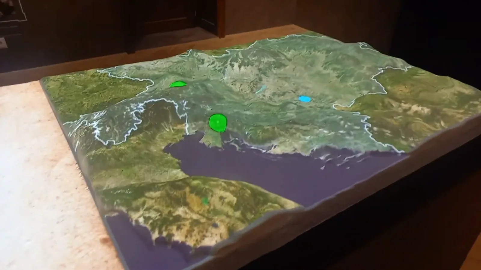
The second part shows the forests of Europe across the monarchy's territory, with the most important woodlands named on the terrain.

How we did it
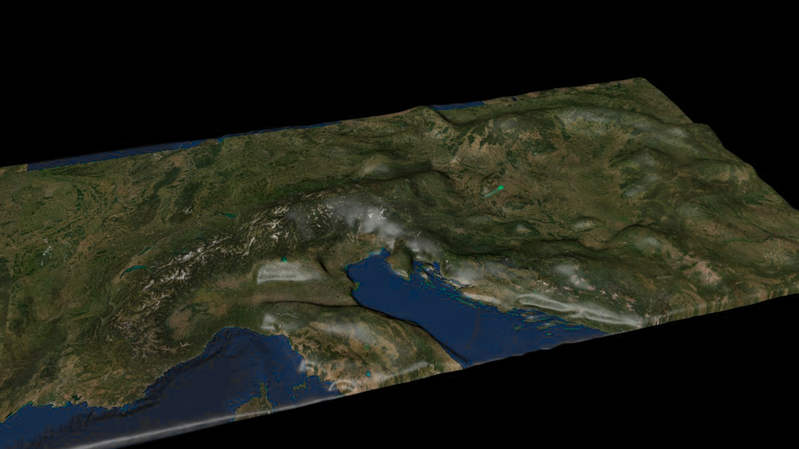
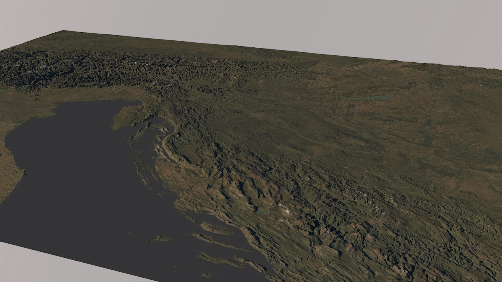
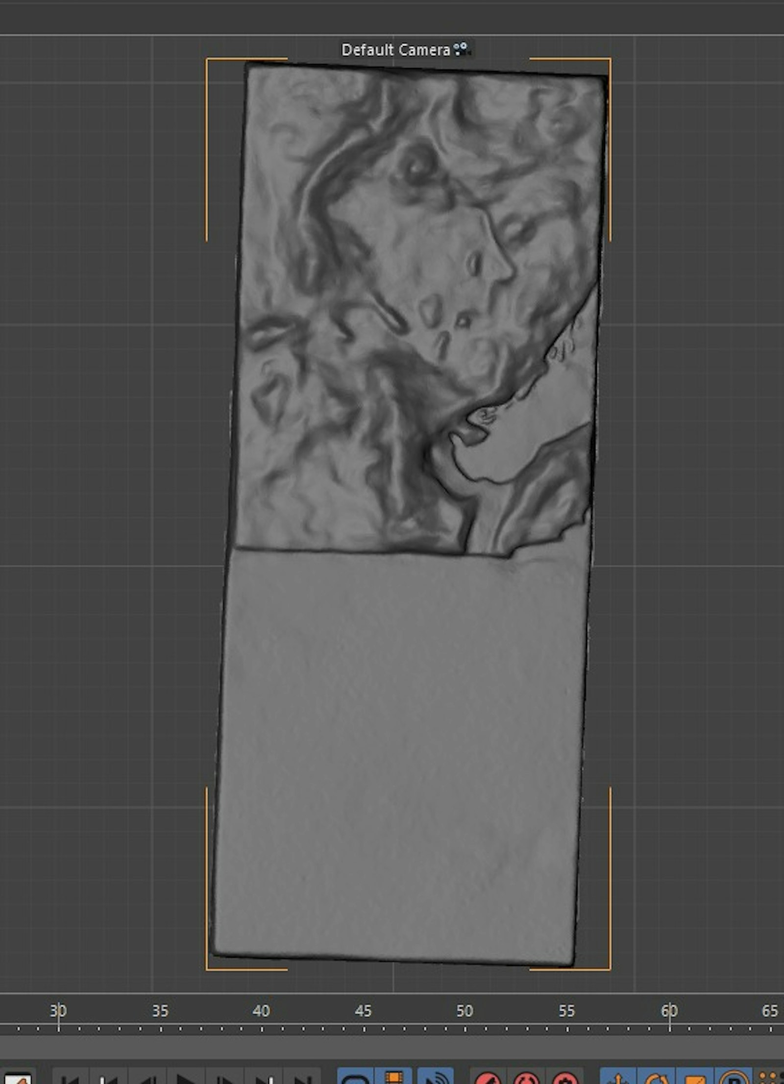
The model was handmade and not very precise, so real GIS data didn't line up with it. We 3D-scanned the model and bent the data to fit the scan.
Even then, the final adjustments happened on site. We moved, scaled or dropped details by hand until everything read well on the physical surface.




- Photoshop
- Cinema 4D
- Rhinoceros 3D